Thursday, March 5, 2020

Tanbark Trail, Allegheny National Forest, Pennsylvania

This is from a hike in January on Tanbark Trail, heading west from what is marked on Google maps as '3004' and 'Rte 337 Rd." There is a parking area beside the road, just before the intersection with Hearts Content Road. The trail in this direction ends on route 62, beside the Allegheny River, but I haven't been able to locate it among the houses there.  The trail also heads east from the parking area, all the way to Hearts Content Recreation Area and the trail system there.  This would be a great trail to backpack, and is also one of the few trails open to bicycles in Allegheny National Forest.


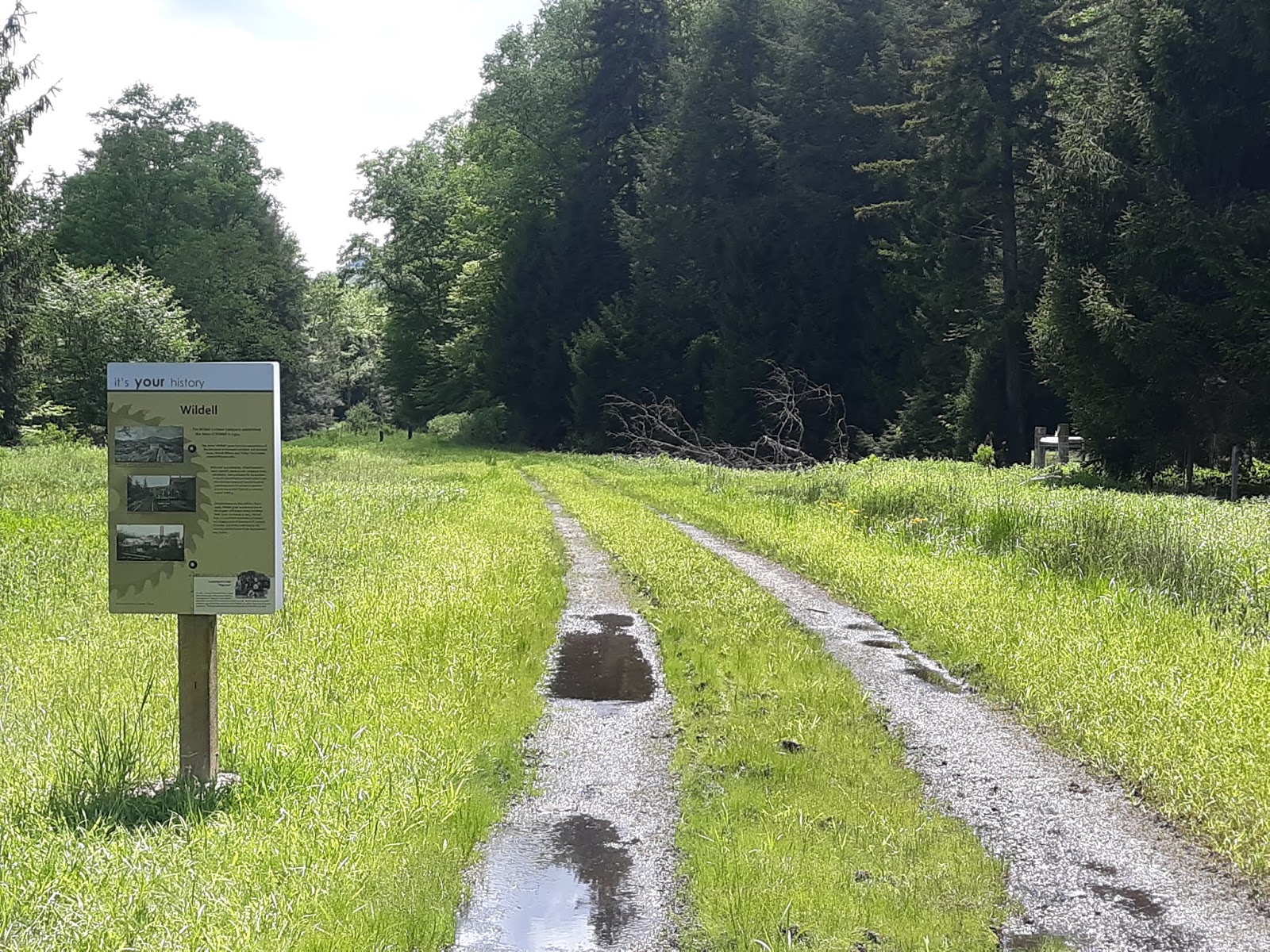
Trail signage at the road.


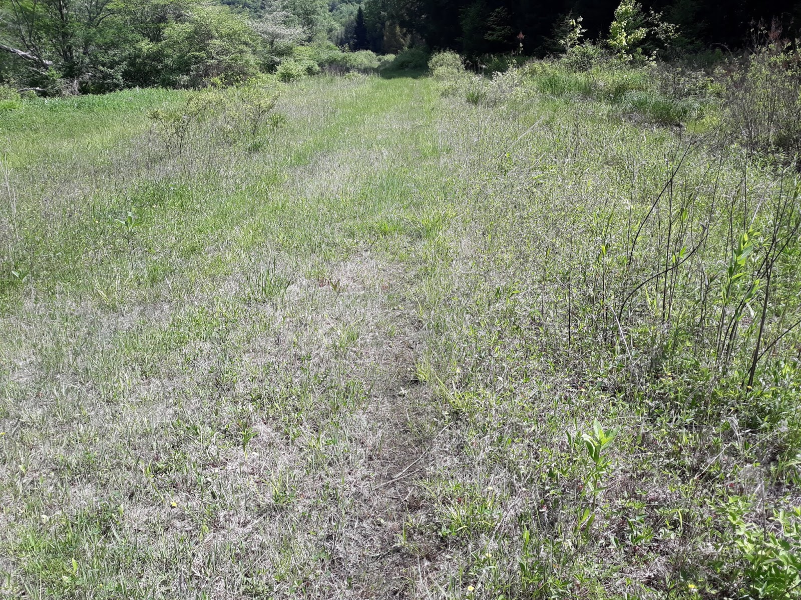
The trail near the parking area.


Fungus and moss decomposing a log.


Downed tree testing the power lines at a right of way.

Entering the pines and rhododendrons in the stream valley.


Rhododendron tunnel in the snow.


Trail marker in the snow.

Moss on lichen.


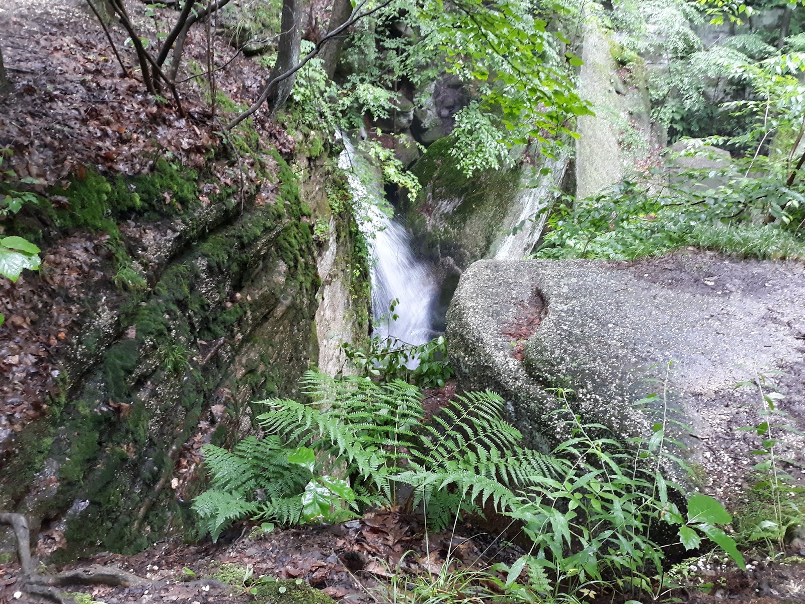
Bridge across the run.

Nice campsite along the run.


Even a graded wood pile for the next camper.

Campsite scenery.


Friday, November 15, 2019

Mountain Bike Trails, West Branch State Park, Ohio

West Branch State Park is situated around Michael Kirwan Reservoir in northeast Ohio, between Warren and Ravenna.  The park has facilities for boating, as well as camping, hiking, horseback riding, and mountain biking.

West Branch State Park information

The mountain bike trails are laid out on either side of an abandoned stretch of Cable Line Road, with the easier 'lakeside trails' on the north, and the more difficult 'gorgeside trails' on the south.  A third area, located off of Porter Road, has the 2.5 mile long Quarry Trail, which is another more difficult trail.

Looking down the abandoned section of Cable Line Road.

Lakeside Trails.

Lakeside Trails.


Lakeside Trails.


Lakeside Trails.

Trail ending on Cable Line Road.


Snake on the trail.


Lakeside Trails.
Lakeside Trails.

Some typical Lakeside roots.

2x4 Root..


Wednesday, July 24, 2019

West Fork Trail, Monongahela National Forest, West Virginia

The West Fork Trail is a rail trail in the Monongahela National Forest that runs between Glady and Durbin.  It's a fairly rough ride for a rail trail, and very remote, with challenging access at some points.

West Fork Trail info

The trail at the Wildell access.

Looking north from the Wildell access.

Map board at Wildell.


Not quite accurate sign post at Wildell.

If the sign is so old it has red cap soldier moss growing on it, you might question the info.

The directional sign heading south out of Wildell said the next access was 6 miles away, which would have been at May.  Unfortunately the bridge between the trail and the road at May is long gone.  Who knows how long that sign has been up, but it's not really accurate any longer.

Private drive at Wildell access.

A grassy section of trail.

With the Greenbriar River alongside.


Slightly better trail conditions here.


Crossing the Greenbriar River.


Grassy trail near May.

Sign post on FS road 44 at May.
If you're paying attention you may notice the grassy track leading 50 yards east from the Trail at May.  The bridge has been removed, but at normal (low) water levels it's a quick and easy trip to wade across the river with a bike.  There are roadside campsites near the crossing, so a base camp could be established here.

Wednesday, July 3, 2019

Nelson Ledges State Park, Ohio

Nelson Ledges is a small state park in Portage County, Ohio, located about 10 miles northwest of Warren.  The main attraction of the park is the jumble of boulders that stretches along the ridge west of route 282.  There are several hiking trails of varying difficulties as well as picnic facilities.

Nelson Ledges State Park info

The photos below were taken during a long rain, and show the waterfalls with a higher rate of flow than ordinary.

Trail along the bottom of the rocks, near Old Maids Kitchen.

Walkway entering Old Maids Kitchen.

Dwarfs Pass.

One of the crevices you're not supposed to hike.


The other side of Dwarfs Pass.

A trail along the upper edge of the ridge.

Looking down.

Cascade Falls from the top.

Cascade Falls at the lip of the drop.

The tiny creek that feeds Cascade Falls, swollen with rain.

Hiking trail on the top of the ridge.


Minnehaha Falls.

A crevice near Devils Ice Box.