 |
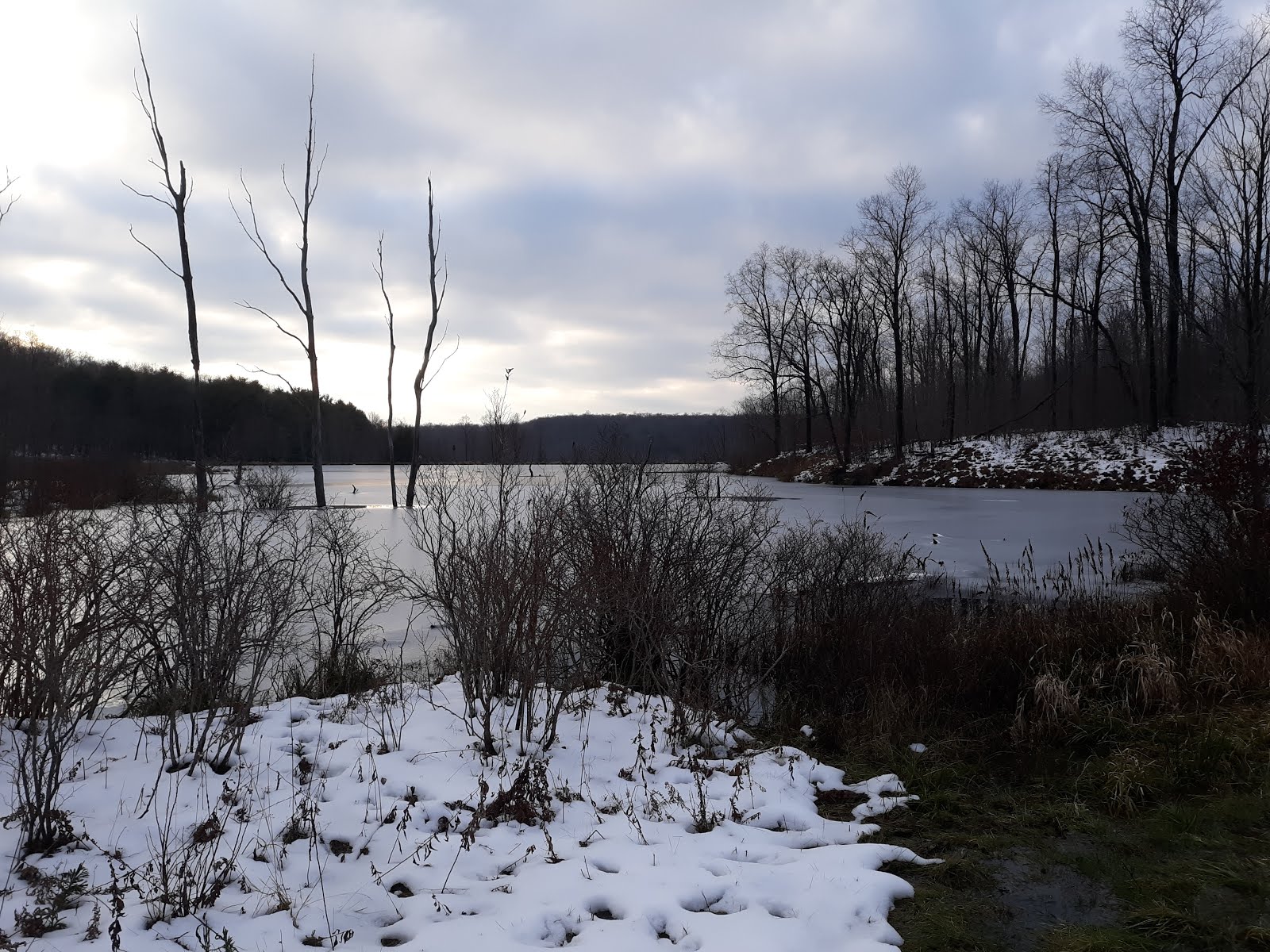
| Pond 13. |
 |
| Plenty of beaver sign. Also saw a grouse on the way in. |

 |
| Soup ride. |
 |
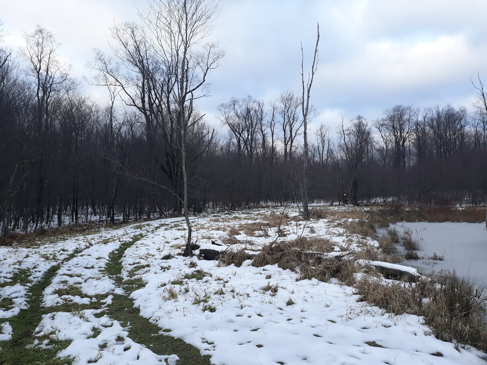
| Pond 12. |
|
| Pond 13. |
|
| Plenty of beaver sign. Also saw a grouse on the way in. |
|
| Soup ride. |
|
| Pond 12. |
 |
| Parking at the south end of the road, next to Loleta campground. |


 |
| East Branch Millstone Creek runs along the road for a much of the way. |

 |
| The southern-most of the dispersed campsites. |


 |
| There are other forest service roads to explore along the way. |
 |
| Many hemlock stands in the valley. |
 |
| My favorite dispersed campsite along the way - #6. |
 |
| E. Br. Millstone Cr. from the bridge next to #6. |


 |
| There are a couple of sections of sunken road in the deepest hemlocks. |
 |
| Down by the creek, at a nice backcountry campsite. |


 |
| Recent wet snow brought down many trees, but this was the only trail blockage of the day. |
 |
| Autumn foliage lingers... |
 |
| ...but will soon be gone. |
 |
| Rest stop at Trumbull/Ashtabula county line. |
 |
| Trailhead and parking at Franklin. |
 |
| The trail, and gravel access road, not far out of Franklin. |
 |
| Ridge Farm gate and buildings. |
 |
| River Ridge history. |
 |
| Several working oil wells are along the trail. |
 |
| Late autumn colors are still hanging on. |
 |
| Recent rains have brought the Allegheny River water level up. |
 |
| Lots of hemlock and rhododendron along the river. |
 |
| A panoramic shot of the north bank of the river. |
 |
| There are a couple of picnic areas towards the Oil City end. |
 |
| The red gates mean you're almost in Oil City. |
 |
| There's a short section of crushed limestone entering Oil City. |
 |
| Historical remnant from the oil extraction boom. |
 |
| In Oil City. |
 |
| In Oil City. |
 |
| The bridge across Allegheny River. Trails continue on the other side, to Oil Creek State Park and points north. |
 |
| Tiny run draining down into Allegheny River. |