Showing posts with label rail trail. Show all posts

Wednesday, July 24, 2019

West Fork Trail, Monongahela National Forest, West Virginia

The West Fork Trail is a rail trail in the Monongahela National Forest that runs between Glady and Durbin.  It's a fairly rough ride for a rail trail, and very remote, with challenging access at some points.

West Fork Trail info

The trail at the Wildell access.

Looking north from the Wildell access.

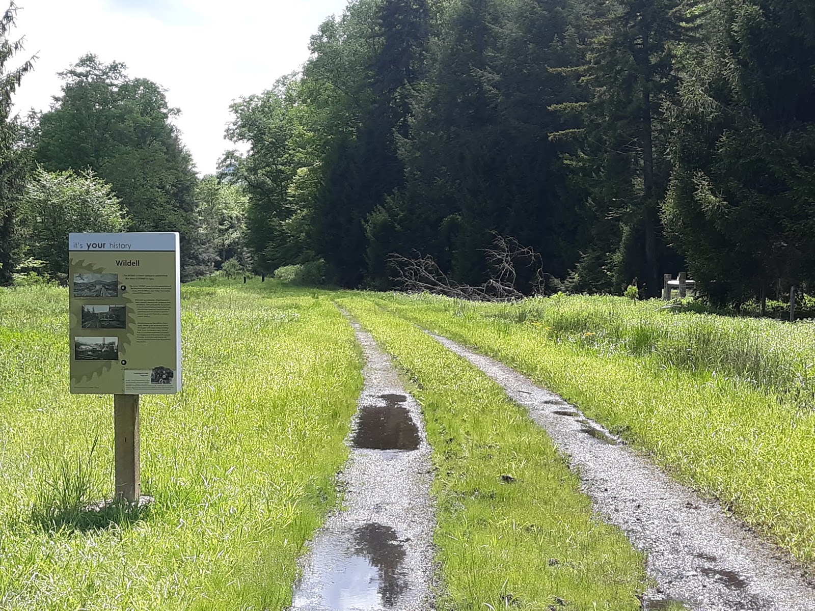
Map board at Wildell.


Not quite accurate sign post at Wildell.

If the sign is so old it has red cap soldier moss growing on it, you might question the info.

The directional sign heading south out of Wildell said the next access was 6 miles away, which would have been at May.  Unfortunately the bridge between the trail and the road at May is long gone.  Who knows how long that sign has been up, but it's not really accurate any longer.

Private drive at Wildell access.

A grassy section of trail.

With the Greenbriar River alongside.


Slightly better trail conditions here.


Crossing the Greenbriar River.


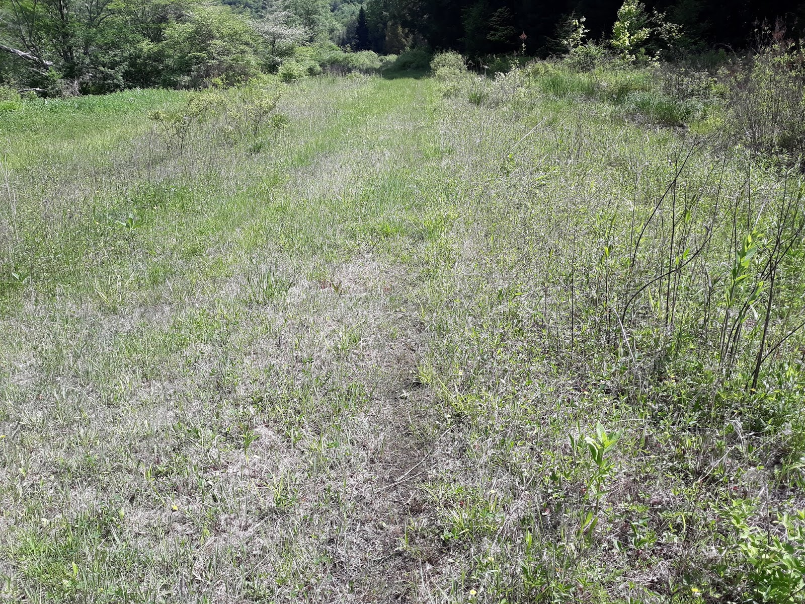
Grassy trail near May.

Sign post on FS road 44 at May.
If you're paying attention you may notice the grassy track leading 50 yards east from the Trail at May.  The bridge has been removed, but at normal (low) water levels it's a quick and easy trip to wade across the river with a bike.  There are roadside campsites near the crossing, so a base camp could be established here.

Tuesday, April 2, 2019

Bicycling at Maurice K. Goddard State Park, Pennsylvania

Maurice K. Goddard State Park is located just north of the town of Sandy Lake.  The reservoir was created by the damming of Sandy Creek.  The park is easily accessed via I-79.

There is a paved trail around part of the lake, which combines with low traffic park roads to make a really nice loop just over 12 miles in length.  This trail is not like a rail trail, with gradual grades and curves.  Instead it's a purpose designed bike trail, with many curves and hills, which goes through woods and meadows around the southern end of the reservoir.  The loop can be a lot of fun for experienced cyclists, but if you're thinking of taking your mother who hasn't ridden a bike in 15 years there, the hills are going to put them in granny gear a lot and they probably won't enjoy themselves.

Maurice K. Goddard State Park info

Near the beginning of a clockwise loop of the trail.

One of about 6 trailside shelters, good for a rest or waiting out the rain.

The trail and Lake Road alongside.

Peaceful rest area along the trail.

You can see the ups and downs along the trail.

Wild chives growing trailside.


Approaching the dam at the south end of the reservoir.

Looking downstream at Sandy Creek.

Looking upstream at the lake.

Where the trail moves onto the road for a mile or so. Hiking trail is 'no bikes'.

Crossing the road away from the lake.  This is where the 2 biggest hills are.


Where the loop uses the Marina roads for 1/4 mile.

Viewing platform on north side of Lake Wilhelm Road, near Marina.


From viewing platform.

Lake Wilhelm Road at Marina, and the view of the bridge across the lake.

Lake Wilhelm from the bridge.

And back to the trailhead parking area.


Thursday, December 27, 2018

Panhandle Trail, Pennsylvania

Panhandle Trail is a paved rail trail that leads from Weirton, West Virginia to Rennerdale, Pennsylvania.

http://panhandletrail.org/maps/

The photos in this entry are from between Burgettstown and McDonald, Pennsylvania.

Parking and access at Burgettstown, PA.
Trailside rest area near Burgettstown.

Summit near Bulger.

Approaching Midway.
Midway FD from the trail.
Spur leading to Montour Trail.
Montour Trail spur.
Montour Trail bridge.

Montour Trail info:  https://montourtrail.org/

Trail parking at Fort Cherry.