Showing posts with label mtb. Show all posts

Friday, November 15, 2019

Mountain Bike Trails, West Branch State Park, Ohio

West Branch State Park is situated around Michael Kirwan Reservoir in northeast Ohio, between Warren and Ravenna.  The park has facilities for boating, as well as camping, hiking, horseback riding, and mountain biking.

West Branch State Park information

The mountain bike trails are laid out on either side of an abandoned stretch of Cable Line Road, with the easier 'lakeside trails' on the north, and the more difficult 'gorgeside trails' on the south.  A third area, located off of Porter Road, has the 2.5 mile long Quarry Trail, which is another more difficult trail.

Looking down the abandoned section of Cable Line Road.

Lakeside Trails.

Lakeside Trails.


Lakeside Trails.


Lakeside Trails.

Trail ending on Cable Line Road.


Snake on the trail.


Lakeside Trails.
Lakeside Trails.

Some typical Lakeside roots.

2x4 Root..


Wednesday, July 24, 2019

West Fork Trail, Monongahela National Forest, West Virginia

The West Fork Trail is a rail trail in the Monongahela National Forest that runs between Glady and Durbin.  It's a fairly rough ride for a rail trail, and very remote, with challenging access at some points.

West Fork Trail info

The trail at the Wildell access.

Looking north from the Wildell access.

Map board at Wildell.


Not quite accurate sign post at Wildell.

If the sign is so old it has red cap soldier moss growing on it, you might question the info.

The directional sign heading south out of Wildell said the next access was 6 miles away, which would have been at May.  Unfortunately the bridge between the trail and the road at May is long gone.  Who knows how long that sign has been up, but it's not really accurate any longer.

Private drive at Wildell access.

A grassy section of trail.

With the Greenbriar River alongside.


Slightly better trail conditions here.


Crossing the Greenbriar River.


Grassy trail near May.

Sign post on FS road 44 at May.
If you're paying attention you may notice the grassy track leading 50 yards east from the Trail at May.  The bridge has been removed, but at normal (low) water levels it's a quick and easy trip to wade across the river with a bike.  There are roadside campsites near the crossing, so a base camp could be established here.

Wednesday, June 19, 2019

Moraine State Park mountain bike trails, Pennsylvania


Moraine State Park is located about 5 miles east of New Castle, Pennsylvania.  The North Shore area features a paved bicycle path and dedicated mountain bike trails.  These mountain bike trails are some of the more technically challenging trails in western PA, with many difficult rock features.

Moraine State Park information

Map of the mountain bike trails at Moraine SP.


Wednesday, May 29, 2019

North Fork Mountain Trail, Monongahela National Forest, West Virginia

North Fork Mountain Trail is one of the more unique trails in West Virginia.  It starts at the bottom of the ridge, near the confluence of the South Branch of the Potomac River and the North Fork of the South Branch of the Potomac River, and runs south for about 23 miles along the ridge top.

Access points are limited to the north end, south end, two trail access from the east, and a little known dead end road.

IMBA North Fork Mountain Trail info

West Virginia Trail Inventory

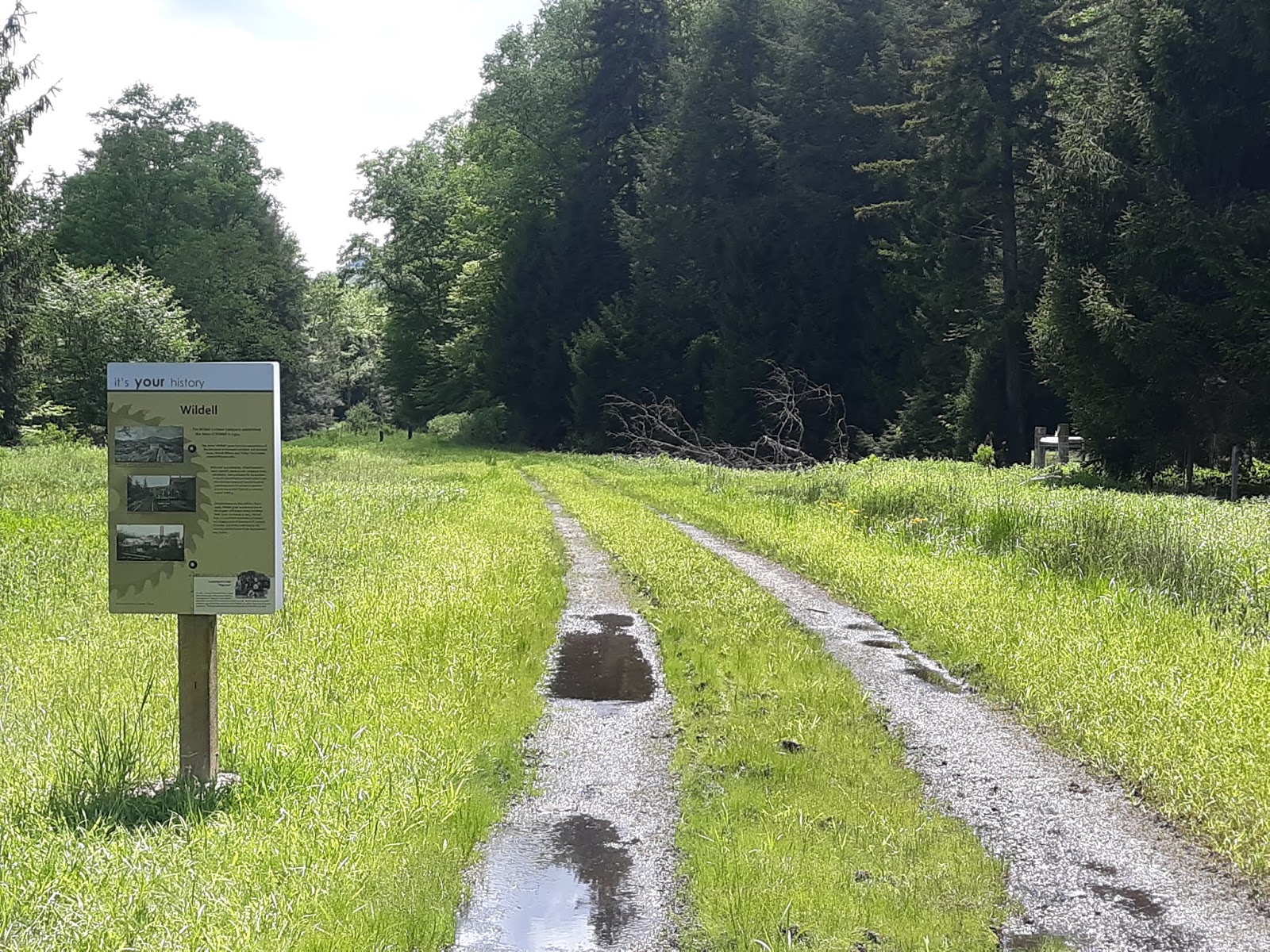
This trip was a short out and back from the south end of the trail.  Access is off of state route 33 between Judy Gap & Franklin.  There is a radio tower at the very top of the ridge on route 33, with enough room to park a few cars on either side of the tower access.  The North Fork Mountain Trail is directly behind the tower, and is blazed.

The trail runs very close to the ridge line for much of the distance, so amazing views over the North Fork are available whenever you feel like breaking through the trees, or following the side trails to the nearest overlook.  There is no water on the ridge, and it handles rain very well.


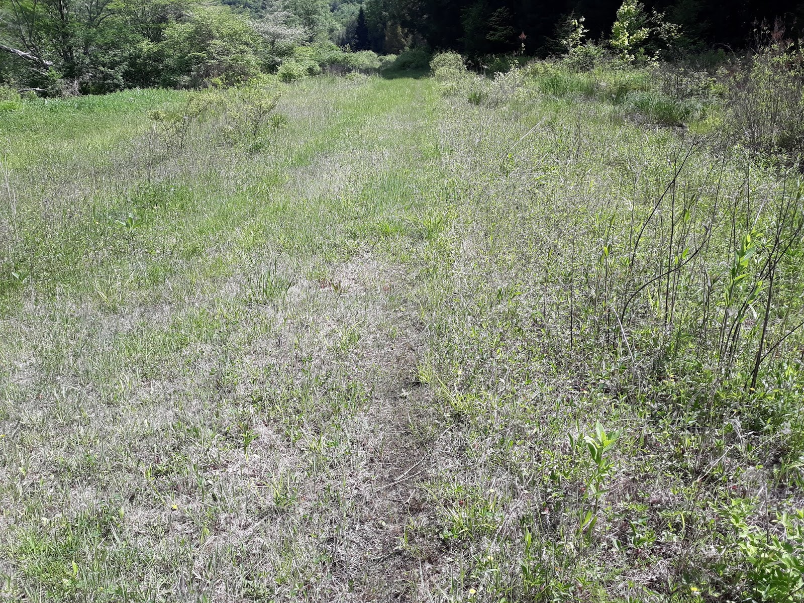
Typical dry and slightly overgrown trail.

Don't be surprised to find a couple of trees down.

Trail is well blazed, but would be hard to lose anyway.

Wildflowers near the ridge line.


A more open section of trail.

Lady Slipper orchid near the ridge.
  

View to the west from the trail near it's south end.

View looking northwest.