Showing posts with label trails. Show all posts

Friday, November 15, 2019

Mountain Bike Trails, West Branch State Park, Ohio

West Branch State Park is situated around Michael Kirwan Reservoir in northeast Ohio, between Warren and Ravenna.  The park has facilities for boating, as well as camping, hiking, horseback riding, and mountain biking.

West Branch State Park information

The mountain bike trails are laid out on either side of an abandoned stretch of Cable Line Road, with the easier 'lakeside trails' on the north, and the more difficult 'gorgeside trails' on the south.  A third area, located off of Porter Road, has the 2.5 mile long Quarry Trail, which is another more difficult trail.

Looking down the abandoned section of Cable Line Road.

Lakeside Trails.

Lakeside Trails.


Lakeside Trails.


Lakeside Trails.

Trail ending on Cable Line Road.


Snake on the trail.


Lakeside Trails.
Lakeside Trails.

Some typical Lakeside roots.

2x4 Root..


Wednesday, July 3, 2019

Nelson Ledges State Park, Ohio

Nelson Ledges is a small state park in Portage County, Ohio, located about 10 miles northwest of Warren.  The main attraction of the park is the jumble of boulders that stretches along the ridge west of route 282.  There are several hiking trails of varying difficulties as well as picnic facilities.

Nelson Ledges State Park info

The photos below were taken during a long rain, and show the waterfalls with a higher rate of flow than ordinary.

Trail along the bottom of the rocks, near Old Maids Kitchen.

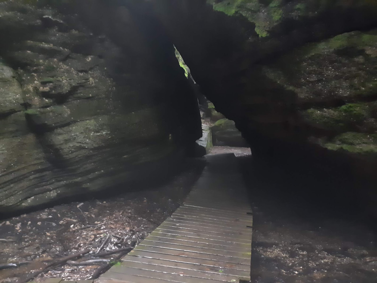
Walkway entering Old Maids Kitchen.

Dwarfs Pass.

One of the crevices you're not supposed to hike.


The other side of Dwarfs Pass.

A trail along the upper edge of the ridge.

Looking down.

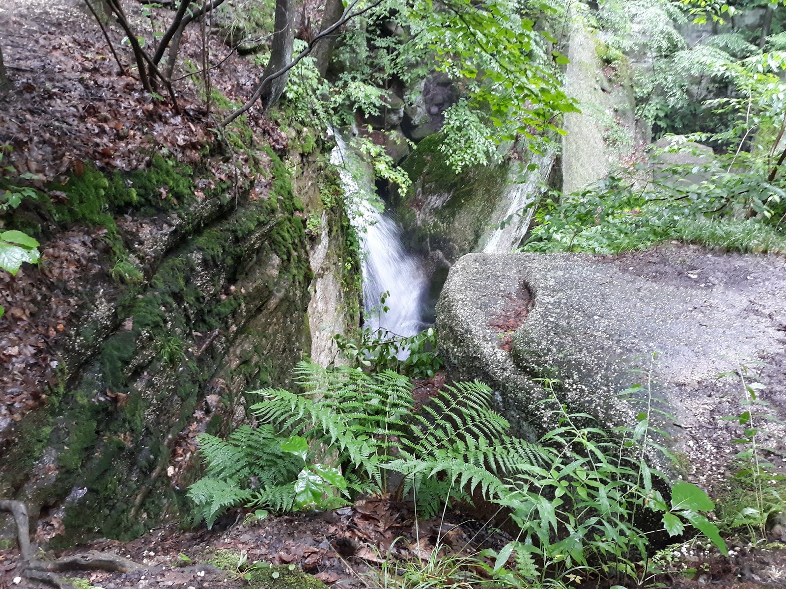
Cascade Falls from the top.

Cascade Falls at the lip of the drop.

The tiny creek that feeds Cascade Falls, swollen with rain.

Hiking trail on the top of the ridge.


Minnehaha Falls.

A crevice near Devils Ice Box.


Thursday, June 27, 2019

Spring Creek Horse Trails, Allegheny National Forest, Pennsylvania

There is a network of old roads and trail in the Spring Creek area of south eastern Allegheny National Forest.  The campground at Kelly Pines makes a great place to start - either at the gated road in the campground, or on the trail across the road from the entrance.  Note that Kelly Pines is a good place to camp as well.  It's an equestrian campground with two sites reserved for non-equestrian campers (which often go unused).

Kelly Pines Campground info

The trail system encompasses quite a few old roads, linking to the dead end FS 130, and others near Duhring.  There are also singletrack trails, including the one opposite the campground, which leads up the hill and to an amazing area of HUGE (building sized) boulders.

Gated entry road from Kelly Pines Campground.

One of the non-equestrian campsites at Kelly Pines.

Getting ready to ride.

Typical abandoned road heading east from Kelly Pines.


Intersection.

There are abandoned roads in the area that intersect with the designated trails, but are not part of the system - leaving room for additional exploration.  The photo above has the horse trail to the right (see the sign with the painted horse?) and a seldom used abandoned road dropping off to the left.


Watch for snakes.


Active oil well along the route.

Wednesday, June 19, 2019

Moraine State Park mountain bike trails, Pennsylvania


Moraine State Park is located about 5 miles east of New Castle, Pennsylvania.  The North Shore area features a paved bicycle path and dedicated mountain bike trails.  These mountain bike trails are some of the more technically challenging trails in western PA, with many difficult rock features.

Moraine State Park information

Map of the mountain bike trails at Moraine SP.